
Bihar to Digitally Map 10.23 Lakh Farm Plots What It Means for Land Records and Farmers
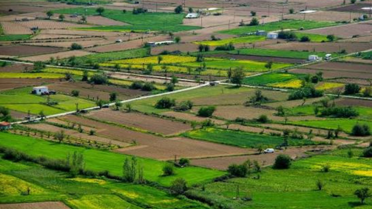
West Champaran | August 11, 2026: Farmers in West Champaran are set to see agriculture officials visit their fields as the district begins a digital crop survey of 10.23 lakh plots from August 13. The exercise will record plot-level crop details along with GPS locations, creating a more accurate digital picture of agricultural land use across the district.
For farmers and landowners, the exercise could become important beyond crop planning. Accurate plot-level records can help government departments identify cultivation patterns, plan schemes and target agricultural benefits more effectively.
10.23 Lakh Plots to Be Covered in Digital Survey
The agriculture department will deploy farmer advisers, SMS, BTM, ATM and other field staff across villages to conduct the survey.
Officials will visit individual plots and record details such as:
- Crop and cultivated area
- Crop variety and type
- GPS location of the plot
- Other relevant agricultural information
The details will then be uploaded digitally through the designated application.
Why This Digital Survey Matters to Farmers
One of the biggest benefits will be the availability of updated plot-wise crop data.
At present, accurate information about how much land is being used for different crops can be difficult to compile at the district level. The digital survey is expected to provide a clearer picture of actual cultivation during the kharif season.
This can help authorities plan agricultural programmes based on the real requirement of different areas instead of relying only on older or estimated data.
Which Crops Will Be Recorded
The survey will primarily cover kharif crops being cultivated across the district.
These include paddy, maize, bajra, arhar, urad, sesame, groundnut and sugarcane, among other crops.
Once the survey is completed, officials will have updated information about the area under each crop.
Could Digital Records Make Government Benefits More Targeted
This is where the exercise could have a direct impact on farmers.
The government can use updated crop-area data while planning and approving schemes related to agriculture. It can also help identify the areas and farmers requiring specific support.
For landowners, maintaining accurate information about the plot, cultivation and location can become increasingly important as government services move towards digital records and data-based planning.
Farmers Asked to Cooperate With Field Teams
District Agriculture Officer Sarfaraz Asgar said officials have already been instructed to follow the prescribed process while conducting the survey.
Farmers have been requested to cooperate when agricultural personnel visit their fields and provide the necessary information about their crops and plots.
The survey will begin on August 13, with officials expected to cover all 10.23 lakh identified plots in the district.
What Happens After the Survey
The completed database is expected to provide the agriculture department with a more accurate assessment of crop-wise cultivated area and plot-level agricultural activity.
This information could subsequently support better planning of government schemes and improve the targeting of benefits.
For farmers, the bigger takeaway is that their field-level information is increasingly becoming part of a digital government system, which could influence how agricultural schemes and support are planned in the future.