
India Is Digitising Land Records With Bhu-Aadhaar, Drones and Digital Property Maps
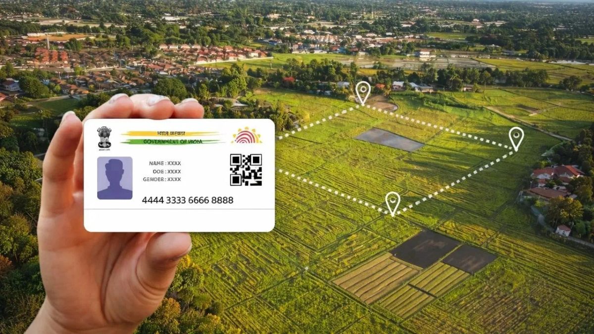
New Delhi | August 31, 2026: India is rapidly moving its land records from paper-based systems to a more integrated digital framework. Under programmes such as the Digital India Land Records Modernisation Programme (DILRMP), Bhu-Aadhaar, Bharat Land Stack and NAKSHA, land parcels are being linked with digital maps, property records, registration data and other information.
The shift could make property ownership and transactions more transparent while helping buyers, landowners, lenders and government agencies access more reliable property information.
More Than 40 Crore Land Parcels Get Bhu-Aadhaar
More than 40.58 crore land parcels have already been assigned a 14-digit alphanumeric identification number known as Bhu-Aadhaar or ULPIN.
The system is designed to give individual land parcels a unique digital identity and connect their physical location with land records. Around 76.16% of land parcels have been fully georeferenced, while spatial and textual integration between cadastral maps and Records of Rights has reached 85.24%.
For property owners, this could eventually make it easier to identify and verify land records without depending entirely on fragmented physical documents.
What Will a Digital Property Record Contain?
India's emerging Bharat Land Stack is designed to bring multiple layers of property information together.
These can include:
- Cadastral maps and property boundaries
- Satellite and drone imagery
- Records of Rights
- Property registration information
- Master plans and zoning rules
- Building approvals
- Circle rates
- Tenancy details
- Restrictions and encumbrances
- Property-related litigation
The objective is to create a more connected digital source of information instead of keeping important property details across separate systems.
Drones Are Being Used to Map Urban Properties
The government is also using drones under the NAKSHA programme to create detailed digital maps of urban areas.
Drone-based surveys use technologies including LiDAR and specialised cameras to create high-resolution imagery and 3D models. The aerial data is then checked through ground surveys and a claims-and-objections process.
Under the current NAKSHA pilot, aerial surveys have been completed in 145 of 150 Urban Local Bodies, with legally authentic Urban Property Cards issued as part of the exercise.
Property Registration Is Also Moving Online
The digital transformation is extending beyond land maps.
Around 98.96% of Sub-Registrar Offices (SROs) have been computerised. Seventeen states and Union Territories have adopted the centralised National Generic Document Registration System (NGDRS), while another 17 states use their own digital registration platforms.
Revenue courts are also being brought into the digital ecosystem. Around 94.11% of Revenue Courts have been computerised, allowing property-related litigation to be linked with land records.
Why This Matters for Property Buyers and Owners
For a homebuyer or land investor, property records are among the most important parts of a transaction. Unclear ownership, mismatched boundaries, outdated records and undisclosed disputes can create significant risks.
A more integrated digital land-record system could help buyers and financial institutions verify property information more efficiently. It could also make it easier to identify encumbrances or ongoing litigation associated with a property.
The government has also said that linking land records, registration, circle rates and encumbrances could improve access to formal credit and mortgages for landowners.
However, buyers should not treat a digital record as a substitute for proper legal due diligence. Title verification, sale documents, approvals and other applicable checks should still be completed before purchasing property.
What Happens Next
The government's broader objective is to create an interoperable digital land ecosystem where maps, ownership records, registrations, planning information and property-related legal information can work together.
The Department of Land Resources has also published DILRMP 3.0 operational guidelines for 2026–2031, indicating that the digitisation effort is moving into its next phase.
For India's property market, the long-term impact could be significant: better land records can mean greater transparency, easier verification and potentially fewer disputes during property transactions.