
Ahmedabad to Get a Digital Map of Properties, Roads and Utilities
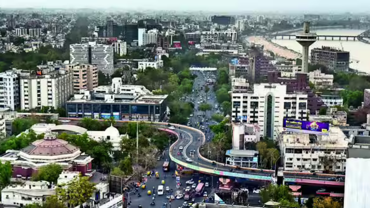
AHMEDABAD, August 31, 2026: Ahmedabad is set to develop a city-wide GIS platform that will digitally map properties, roads, utilities and key infrastructure. The project will also create a detailed 3D model of the city to support urban planning and disaster management.
25 Lakh Properties to Get Digital IDs
Around 25 lakh properties will be geo-coded through a door-to-door survey. Each property will receive a digital door ID, helping the Ahmedabad Municipal Corporation (AMC) verify property-tax assessments and maintain updated records.
3D Model and Aerial Survey Planned
An aerial LiDAR and photographic survey will cover around 625 sq km. The project will generate high-accuracy elevation data, 2D and 3D base maps and land-use maps.
A detailed LOD-3 3D model of 500 important buildings will also be created.
5,200 Km of Roads and Utilities to Be Mapped
Mobile LiDAR and 360-degree imaging will be used to map nearly 5,200 km of roads.
Another 5,200 km of underground utilities including water pipelines, drainage, stormwater networks, gas lines and cables will also be digitally mapped.
GIS Platform to Support Property and City Planning
AMC plans to develop 12 GIS-based applications covering town planning, disaster management, health services and a citizen geoportal.
The platform will also connect with existing systems such as property tax, complaint redressal and SCADA. Property registers and related financial, legal and possession documents will be digitised.
Why It Matters for Property Owners
A unified digital property map could make property-tax verification, planning approvals, infrastructure mapping and civic services more data-driven. For residents, better mapping could also help authorities identify infrastructure gaps and respond faster during emergencies.
The maps are expected to be updated annually during the project's five-year operation and maintenance period using satellite imagery, drones and machine-learning-based change detection.