
UPSCR Base Map Cleared as Lucknow Region Moves Closer to a New Property Growth Plan
Lucknow, Uttar Pradesh | September 9, 2026: The Uttar Pradesh State Capital Region (UPSCR) has cleared an important planning milestone with approval of its GIS-based base map, bringing the six-district region closer to a regional plan that could influence future housing, commercial development, infrastructure and land use.
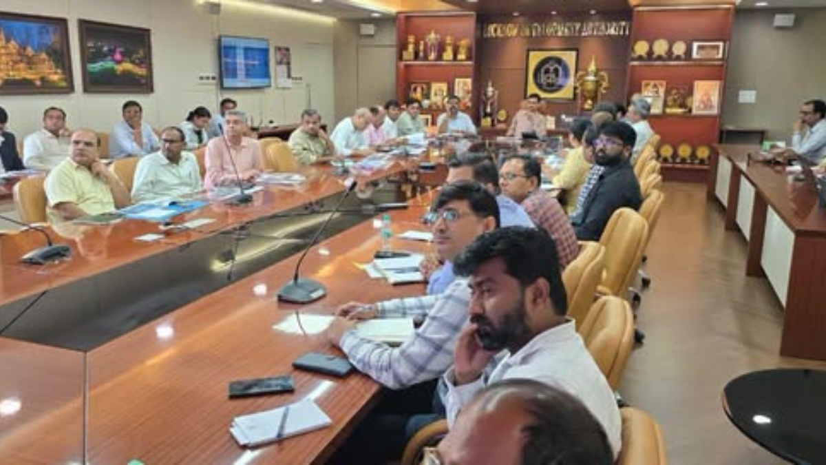
The review committee approved the base map at a meeting chaired by Lucknow Divisional Commissioner Vijay Vishwas Pant. It will now be placed before the UPSCR Executive Committee for final approval.
Six Districts to Form the Capital Region
UPSCR will cover Lucknow, Sitapur, Unnao, Hardoi, Barabanki and Rae Bareli, spanning around 26,741 sq km.
For property buyers and landowners, the regional plan will be important because future infrastructure, development zones and connectivity projects can influence where residential and commercial growth takes place.
30 Projects Identified for Regional Development
Around 30 projects have been identified across transportation and mobility, economy, infrastructure and tourism.
The proposed projects include a transport nagar, orbital rail corridor, metro network, regional roads, elevated peripheral road and road upgrades connecting the six districts.
Industrial and Logistics Projects Could Create New Property Hubs
The plan also identifies industrial development, logistics parks, food parks and Lucknow-Kanpur Expressway corridor-oriented development.
These projects could create new employment and business centres, potentially increasing demand for nearby housing, rental properties, commercial spaces and supporting services.
However, the actual property impact will depend on the final regional plan, project execution and connectivity improvements.
Base Map Checked Across 2,239 Locations
The base map was reviewed by 22 departments and institutions, including development authorities, revenue, PWD, railways, forest, municipal and planning departments.
To verify the accuracy of the GIS data, ground-truthing was conducted across all six districts at 2,239 locations, where satellite imagery and map data were compared with conditions on the ground.
What Happens Next for Property Development
The base map will now go before the UPSCR Executive Committee. Once approved, the regional plan will be prepared.
For property owners, developers and investors, the next stage will be particularly important because the regional plan is expected to provide greater clarity on future infrastructure and development patterns across the capital region.
The biggest opportunity could emerge around areas where transport, industrial and logistics projects converge, but investors should wait for official zoning and project details before making decisions based only on proposed infrastructure.