
Will the New Land Survey Change Your Property Boundaries? Goa Clears the Biggest NAKSHA Rumours
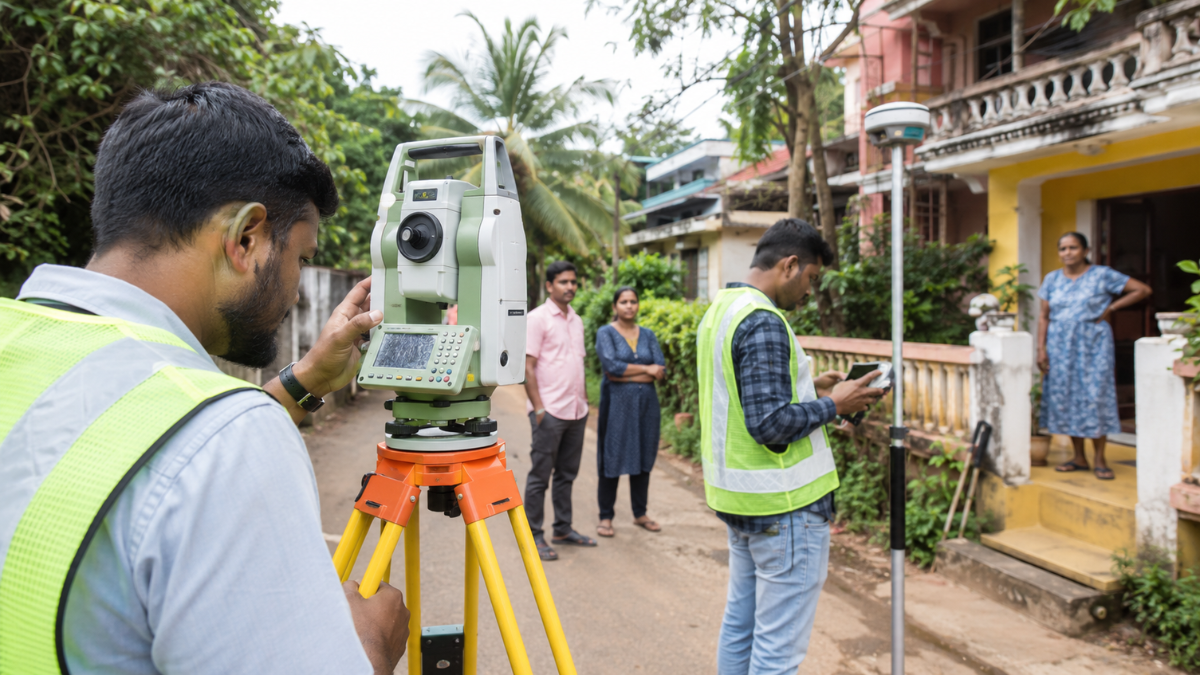
PANAJI | July 21, 2026: Whenever a government land survey begins, rumours often spread faster than official information. Some property owners worry that missing a survey visit could affect ownership, while others fear that digital mapping might change land boundaries or even lead to land acquisition.
The Goa government has now issued a detailed clarification, saying these concerns do not reflect how the NAKSHA project works.
Officials have stated that the ongoing National Geospatial Knowledge-based Land Survey of Urban Habitations (NAKSHA) is only a GIS-based mapping exercise and does not change ownership rights, legal titles or existing land records.
Why the Government Issued This Clarification
Authorities said the clarification became necessary after what they described as groundless rumours surrounding the survey.
According to the Directorate of Settlement and Land Records (DSLR) and the Centre's Department of Land Resources, the project is designed to modernise urban land records and improve planning—not to alter ownership or settle property disputes.
If You're Not Present During the Survey, Will You Lose Your Property?
The government says no.
Officials have clarified that landowners living outside Goa or abroad remain fully protected under the survey process.
The absence of an owner during a survey visit does not affect legal ownership, and no neighbour or third party can claim a property simply because the owner was not physically present.
Authorities said the process includes multiple verification stages and officially notified public review periods to protect property owners.
What NAKSHA Does—and What It Doesn't
According to the government, the project will:
- Digitally map urban land parcels.
- Support modern land administration.
- Improve town planning.
- Help optimise public utility planning.
However, officials stressed that it will not:
- Change property ownership.
- Alter existing legal land titles.
- Resolve ongoing boundary disputes.
- Acquire private land.
- Automatically increase property taxes.
Any existing legal disputes over land boundaries will continue to be decided through the appropriate legal process.
Why This Matters for Property Owners
Digital land record projects are becoming more common across India, but confusion often arises when surveys begin.
The Goa government's clarification highlights an important point: mapping land is not the same as changing ownership.
For property owners, understanding that distinction can help separate official procedures from misinformation circulating through informal channels.
Why This News Matters
The biggest takeaway from this announcement is not the survey itself—it's the reassurance that a digital mapping exercise does not automatically change your legal rights over property.
As more states adopt technology-driven land management systems, property owners may increasingly come across surveys like NAKSHA. Knowing what these projects are meant to do—and what they are not meant to do—can help avoid unnecessary concern and misinformation.