
Punjab to Digitise Urban Village Property Records With Drone Surveys and GIS Mapping
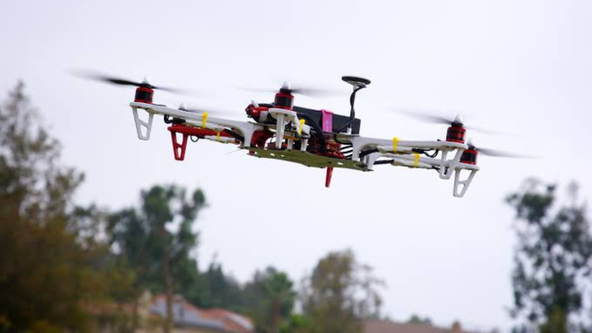
Chandigarh, Punjab | September 3, 2026: Punjab government is preparing to digitise property records in urban villages using high-resolution drone surveys and GIS mapping, a move that could make ownership records more transparent and easier to verify. The initiative will initially cover 50 villages as a pilot project and aims to provide eligible property owners with authenticated property cards.
The project is particularly relevant for residents living within the traditional ‘lal lakir’ areas, where property ownership has often remained informal and has not been fully reflected in official revenue records.
50 Villages to Be Covered Under Pilot Project
The project will be implemented by Punjab’s Department of Revenue, Rehabilitation and Disaster Management under the Punjab Abadi Deh (Record of Rights) Act, 2021, along with subsequent amendments.
The government plans to begin with 50 villages to create accurate, geo-referenced records of residential properties. The initiative is being positioned as a large-scale technology-driven effort to modernise property records in urban village areas.
Drone Surveys Will Map Individual Properties
Under the proposed process, properties will first be mapped using drones to create high-resolution spatial data. The information will then be provided to field officials for ground verification and mapping.
Property owners and other stakeholders will subsequently be given an opportunity to raise objections. After these objections are examined and resolved, authenticated property cards will be issued to eligible owners.
This verification process could help reduce confusion over property boundaries and ownership claims.
Property Cards Could Strengthen Ownership Records
One of the most important outcomes for residents could be the issuance of legally recognised property cards containing verified ownership and property details.
For homeowners, a reliable official record can provide greater confidence when dealing with property-related services and ownership matters. It could also help reduce disputes arising from unclear boundaries, overlapping claims and outdated records.
For properties that have historically relied on informal ownership documentation, the move could bring greater clarity to their legal and administrative status.
GIS Database to Connect Property and Government Records
The project will create a standardised digital database containing both spatial and textual information about properties.
Where applicable, the GIS data will be integrated with existing land, revenue and municipal records. This could allow government departments to access a more consistent picture of property ownership and physical boundaries.
The digital system is also intended to support easier access to verified property information through online platforms and simplified government services.
Better Records Could Help Future Urban Development
Beyond ownership verification, the GIS-based system is expected to provide a geospatial foundation for urban planning, infrastructure development, taxation, public services and disaster management.
Accurate property inventories could help authorities plan roads, utilities and other infrastructure more effectively while improving assessment of applicable property taxes and government fees.
For residents, this could eventually mean more streamlined property-related services and fewer problems caused by fragmented or outdated records.
What Punjab Property Owners Should Watch
The pilot project could mark an important shift from informal property documentation towards digitally verified records in Punjab’s urban villages.
However, property owners should pay close attention to the ground-verification and objection process once their village is brought under the survey. The accuracy of ownership details, boundaries and supporting documents will be important before property cards are issued.
If successfully implemented, the scalable GIS system could also be expanded and periodically updated, creating a more reliable digital foundation for Punjab’s future urban development and property administration.